
Mapping Hominin-Landscape Interactions in the Wetlands of Palaeolithic Lesbos: the Evidence from the Coastal Rims
Identity
“Mapping Hominin-Landscape Interactions in the Wetlands of Palaeolithic Lesbos: the Evidence from the Coastal Rims” (hereinafter HomLandWet) is s research project conducted by the University of Crete (2024-2025) in collaboration with the Hellenic Centre for Marine Research (HCMR) and the Ludwig Maximilian University of
Munich (LMU). The project’s aim is to study the interaction between ancestral human species and their natural environment in the wetlands of Lesvos, in areas with perennial or seasonal water, combining archaeology with paleogeography.
This project is carried out within the framework of the National Recovery and Resilience Plan Greece 2.0, funded by the European Union – NextGenerationEU (Implementation body: HFRI).
Contribution
Results from this research are expected to offer new information about the natural history of the Kalloni Gulf, considering not only the coasts around the perimeter of the gulf but also parts that are submerged today but during the glacial periods of the Pleistocene (2.6 million to 11,700 years) used to be dry land. The findings of the
study will help us understand how prehistoric people appropriated the natural resources in the Gulf of Kalloni and through which routes they reached the Kalloni area and Rodafnidia. The project aspires to establish a methodological approach that could serve as a paradigm for the study of coastal zones exploitation between the land and the sea by Palaeolithic hunters and gatherers, in other regions of the Aegean and beyond.
Questions
Archaeological evidence recovered from the excavations at Lower Palaeolithic Rodafnidia (approx. 2 km from the modern rim of the Kalloni Gulf) and from other Palaeolithic sites and findspots identified through surface survey in the wider area of the Kalloni Gulf and along the river systems between Polichnitos and Vatera, attest to repeated visits of hunter-gatherers during the Pleistocene. What brought them here?
Our working hypothesis is that it was the ecological variability of this area, which currently corresponds to coastal zones, that attracted animals and prehistoric humans resulting in the strong Lower Palaeolithic signal we archaeologists receive today. The extent of this productive zone was not stable, but it was changing in a dynamic way following the sea level fluctuations of the Pleistocene. Geological evidence suggests that during certain phases of the Palaeolithic, parts of the landscape were gradually transformed into wetlands or lagoons or mere plains. How these changes affected resources’ exploitation and dispersal opportunities for hunter-gatherers operating in this area?
Research
Research is conducted on the Kalloni Gulf and Vatera coastal zone in central-south Lesbos Island. It is articulated through five research strands:
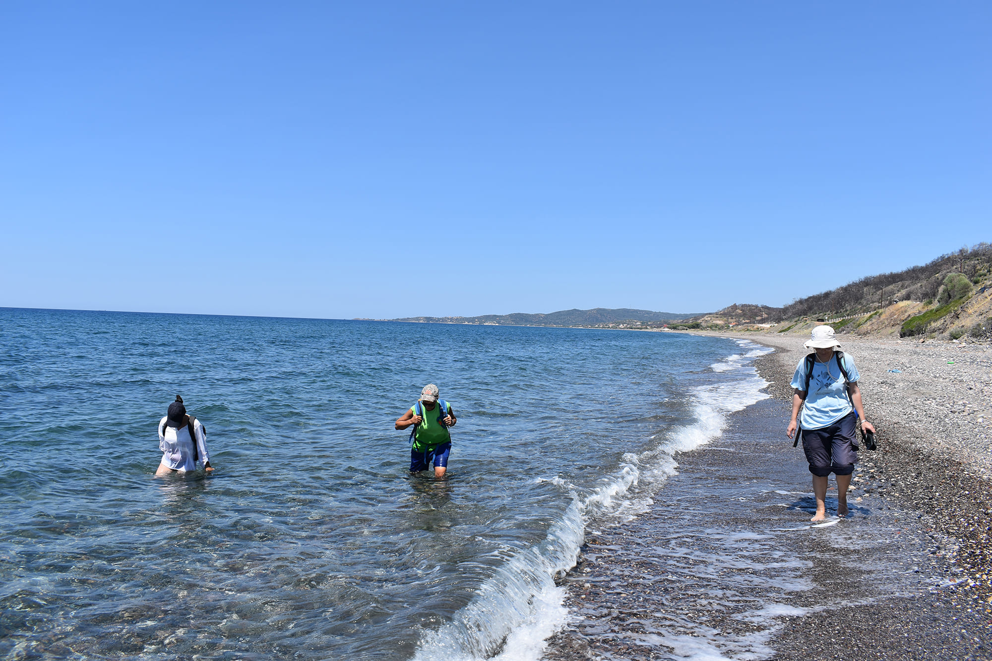
- Archaeological surface survey to trace any remains of Palaeolithic group activity in the zones of interest, such as knapped stone artefacts, isolated or in association with palaeontological remains.
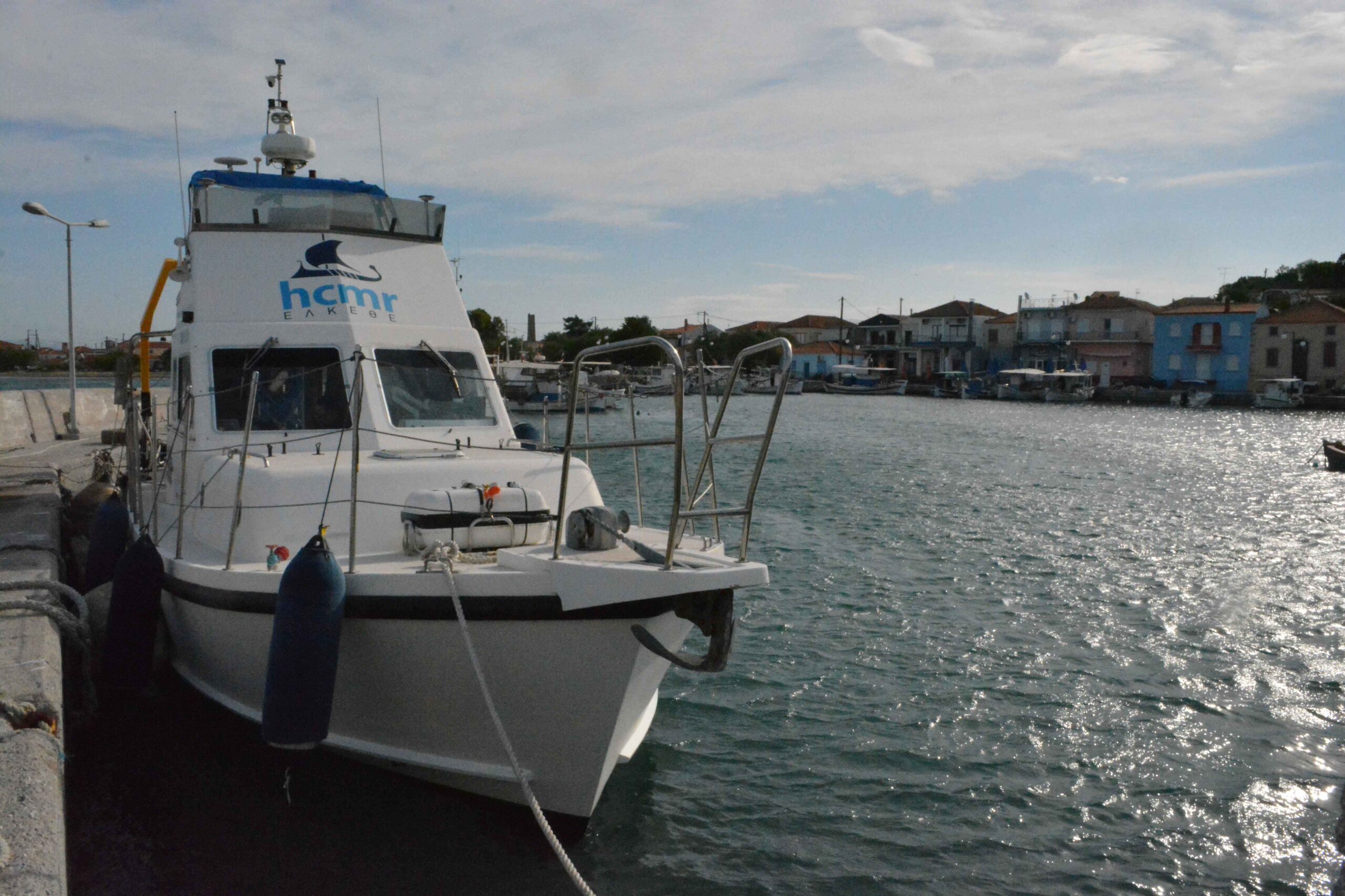
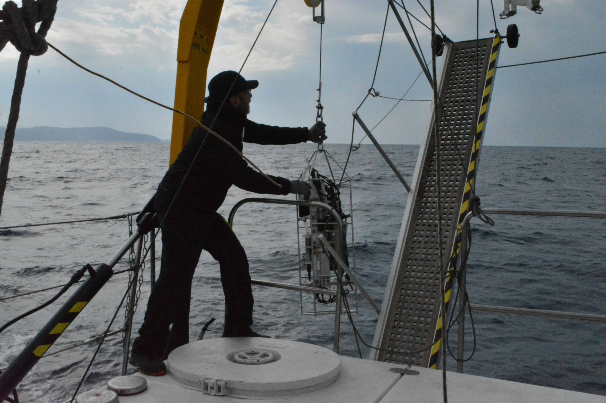
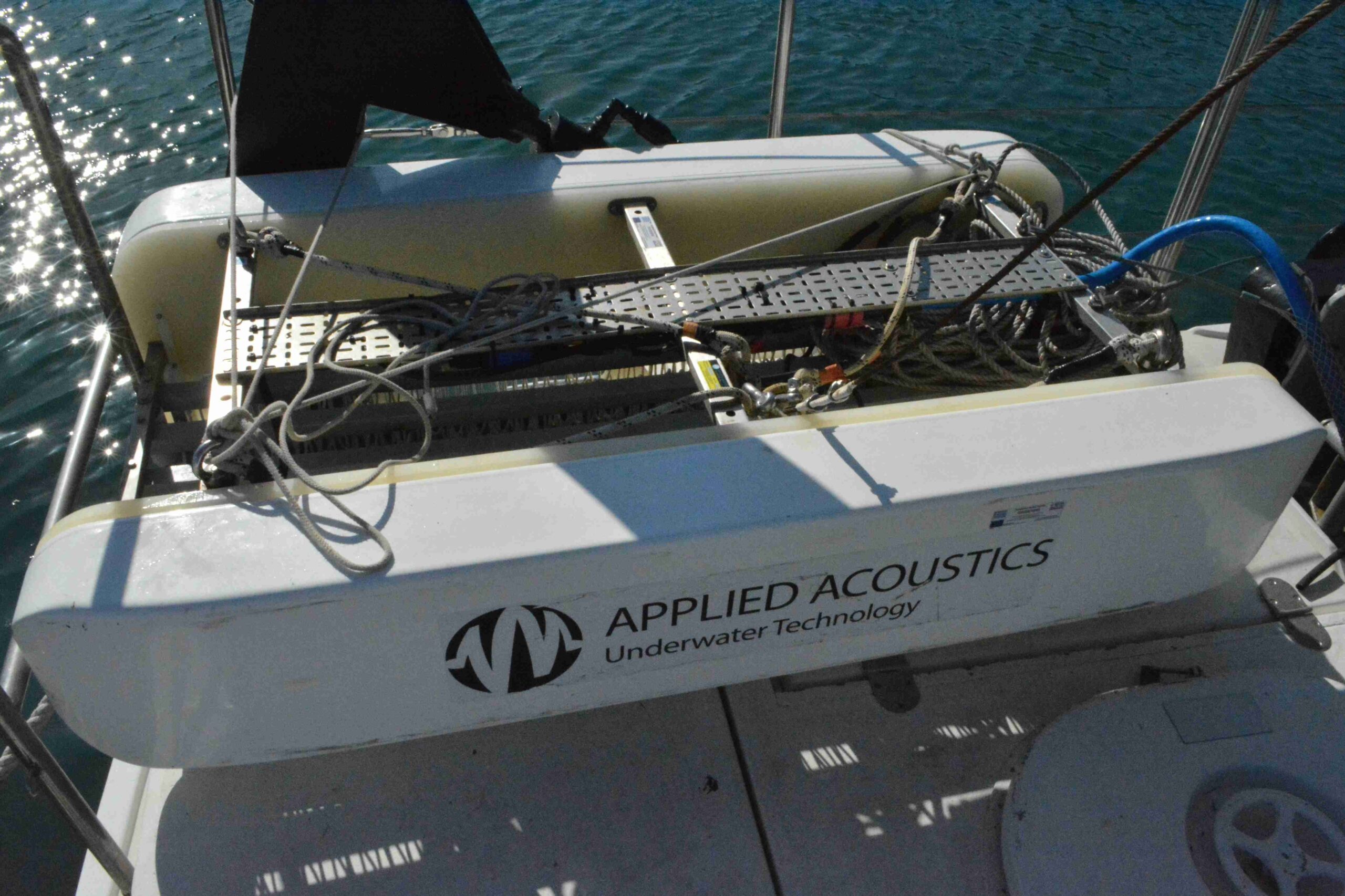
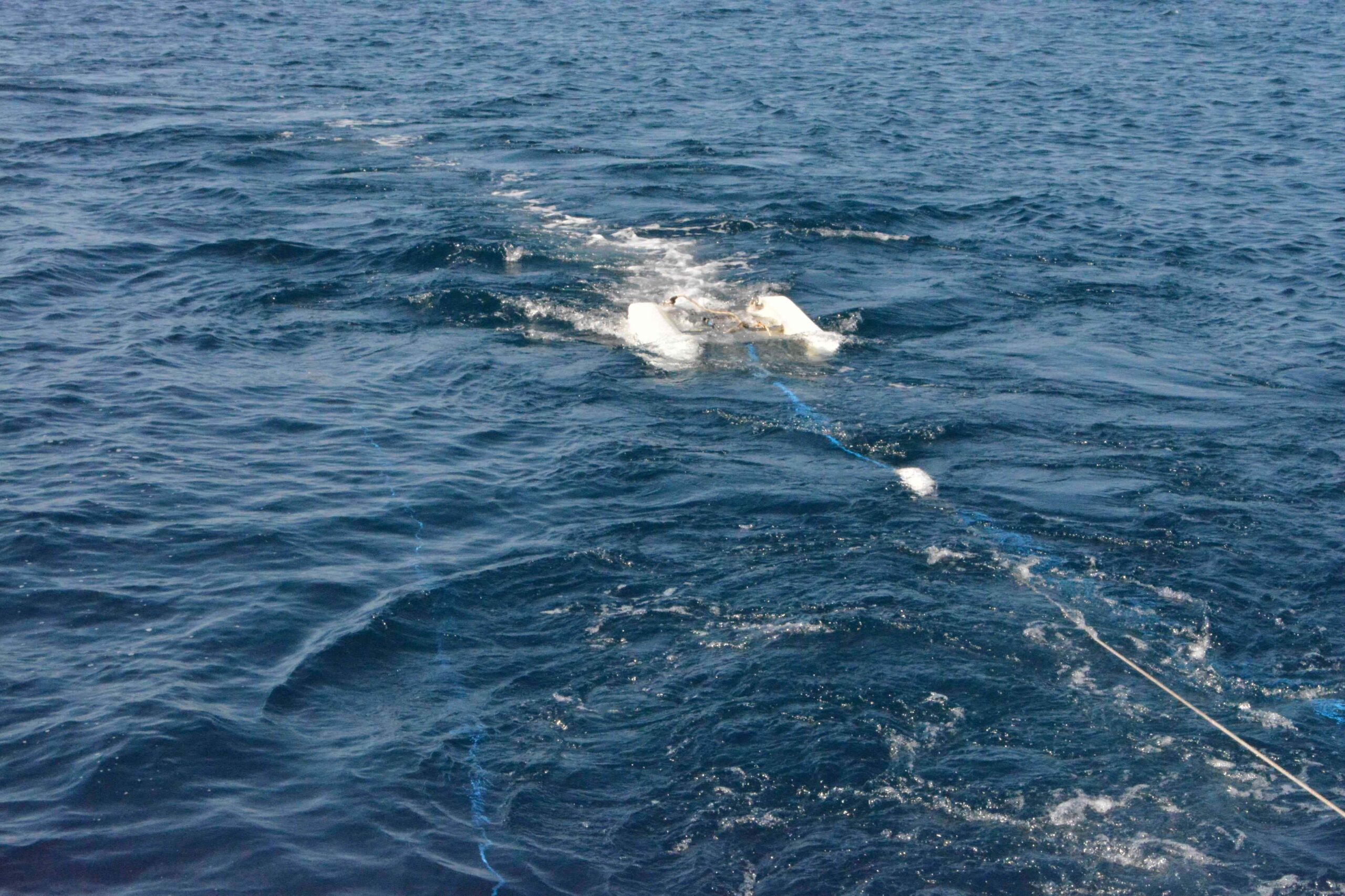
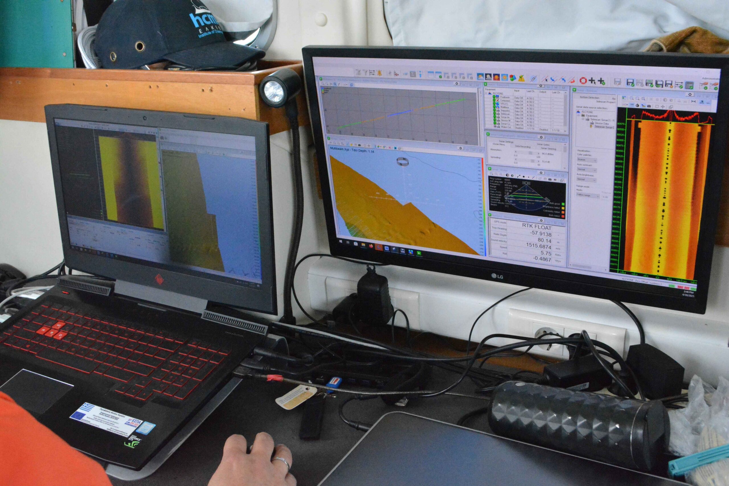
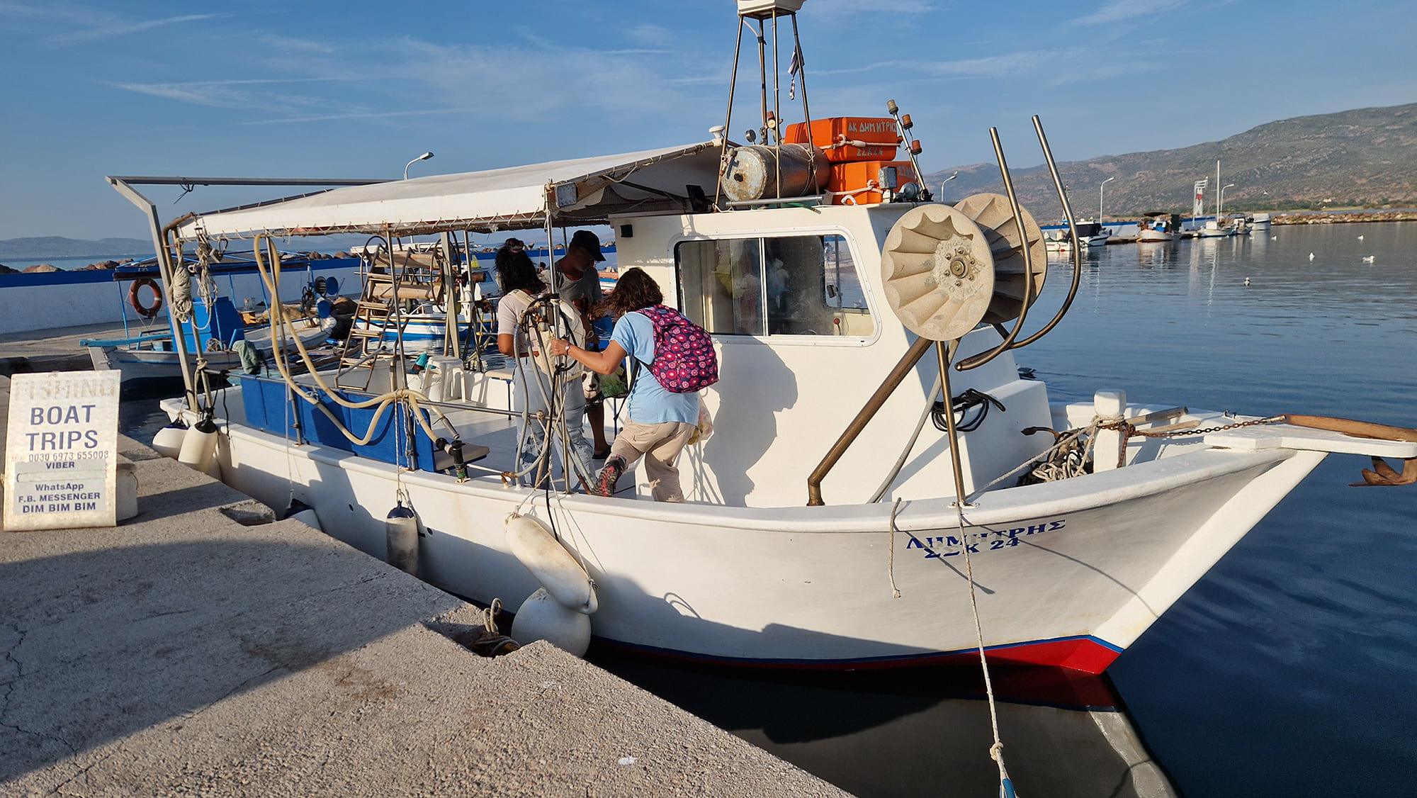
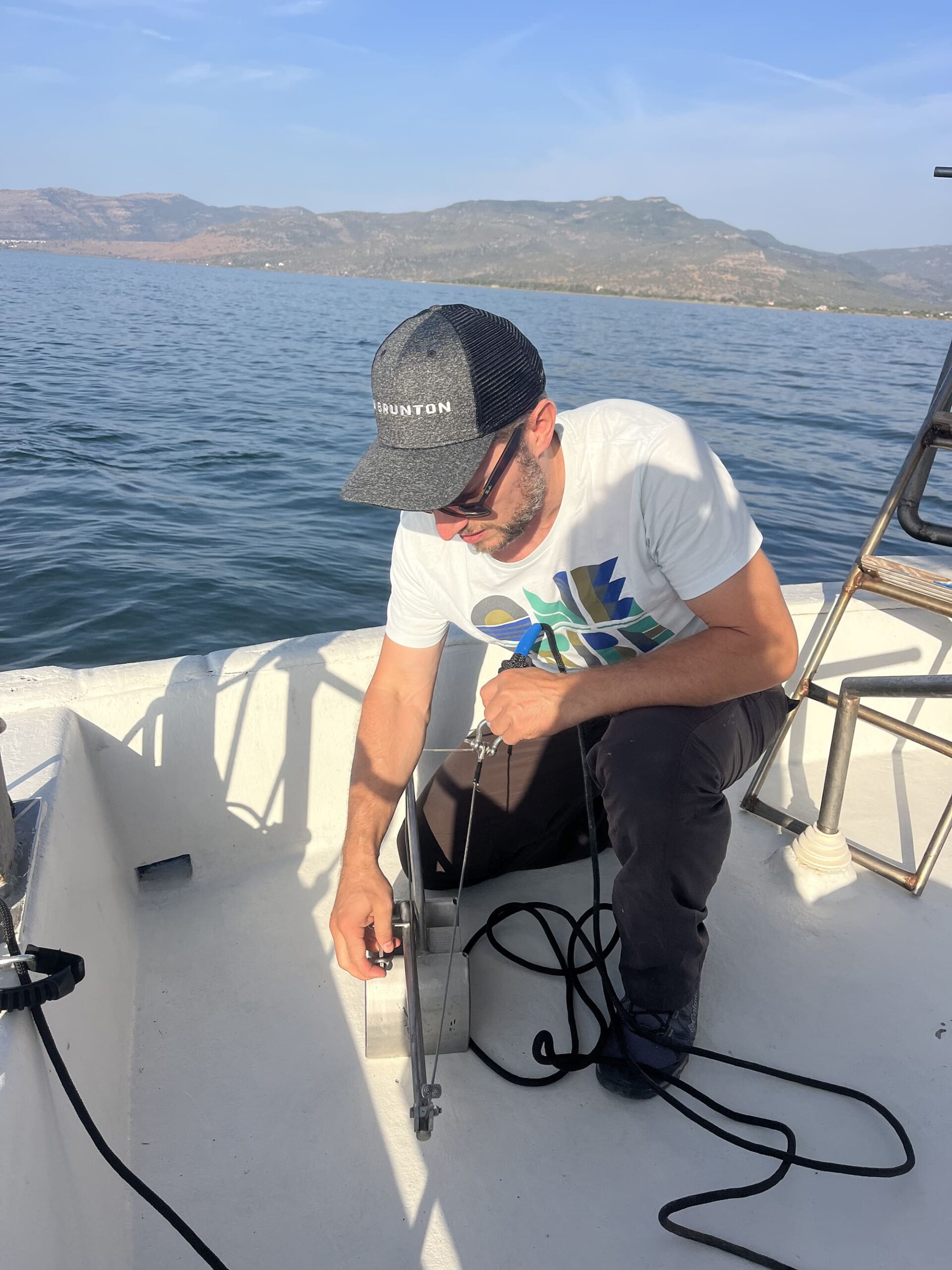
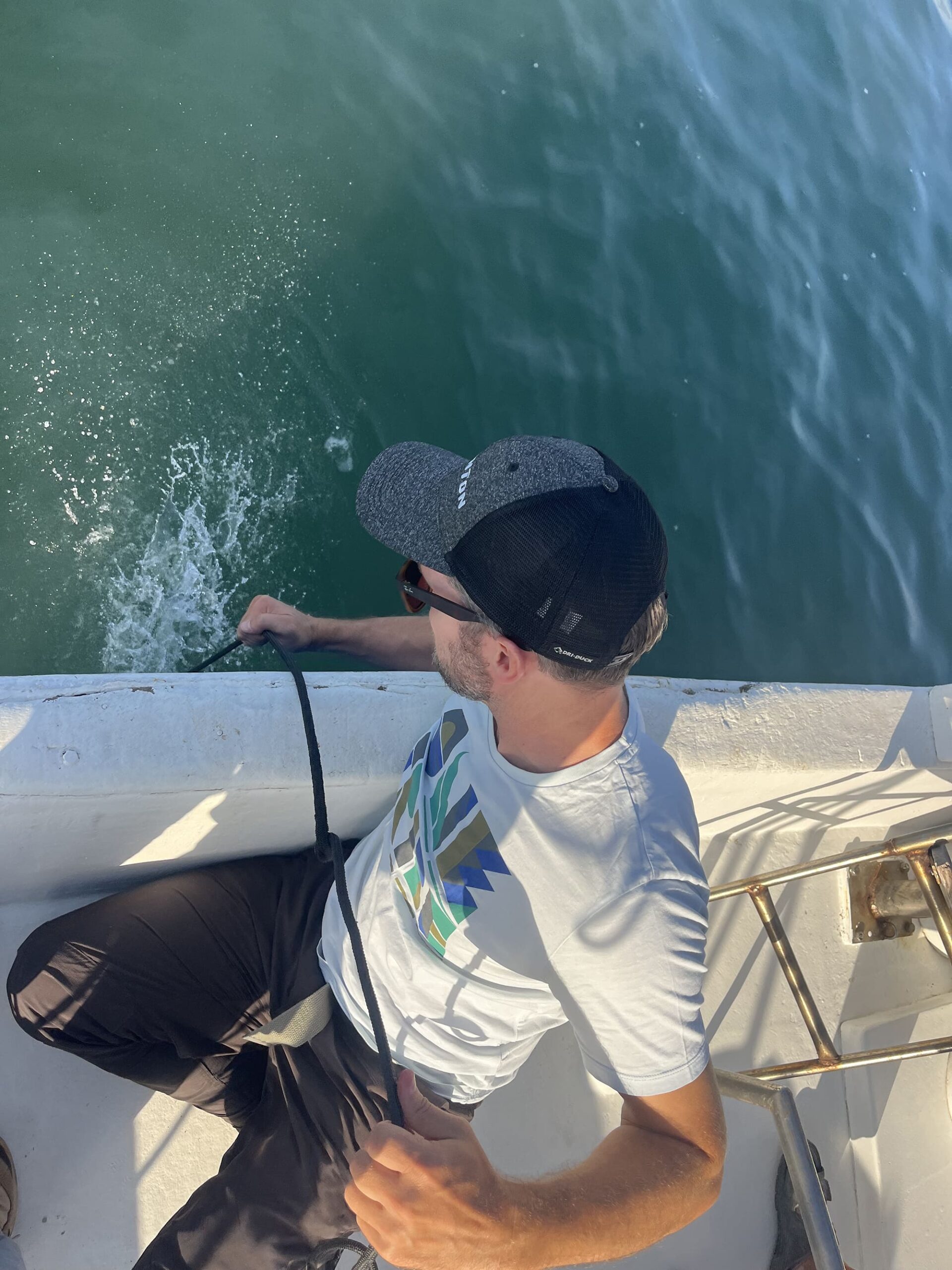
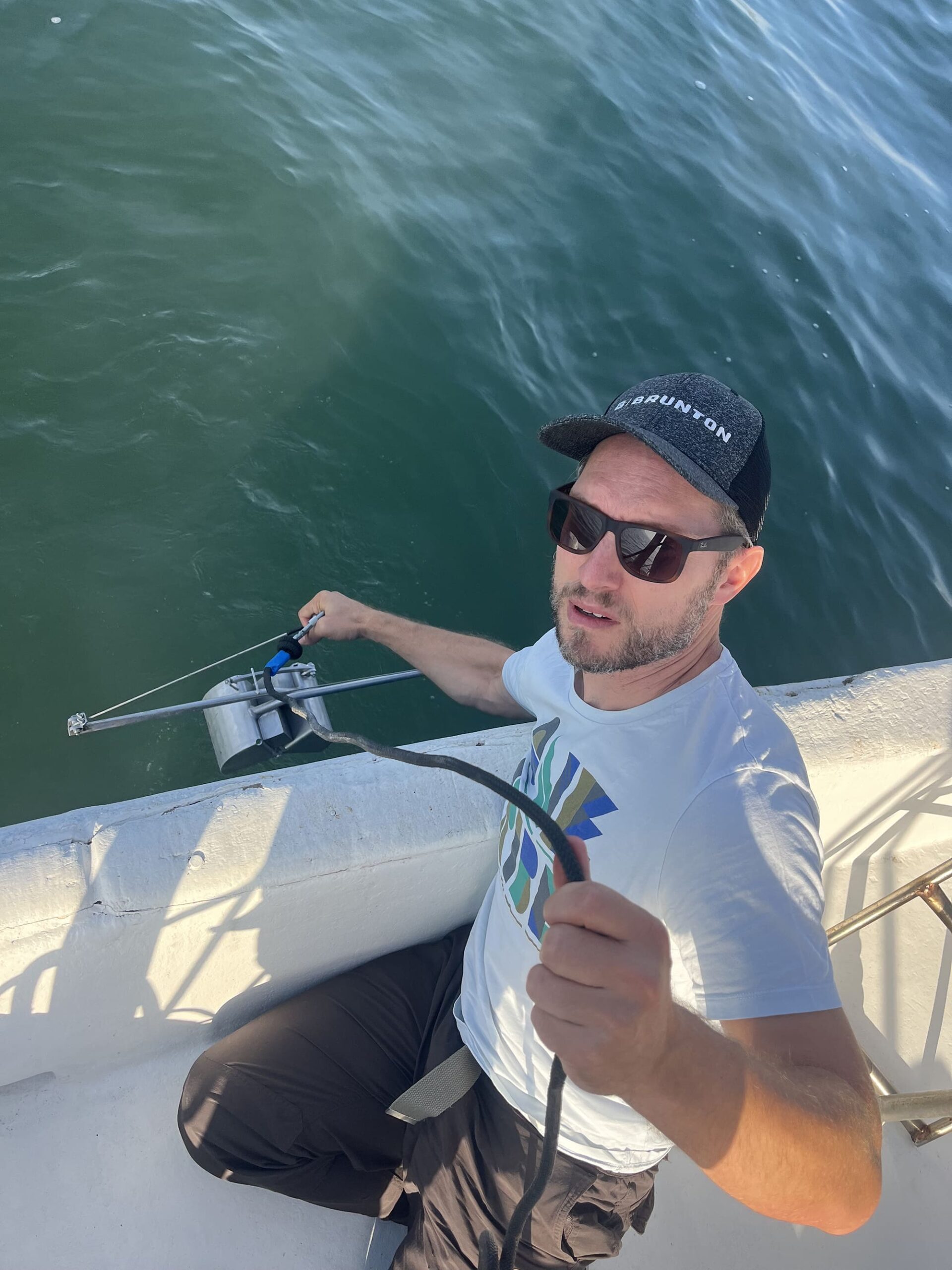
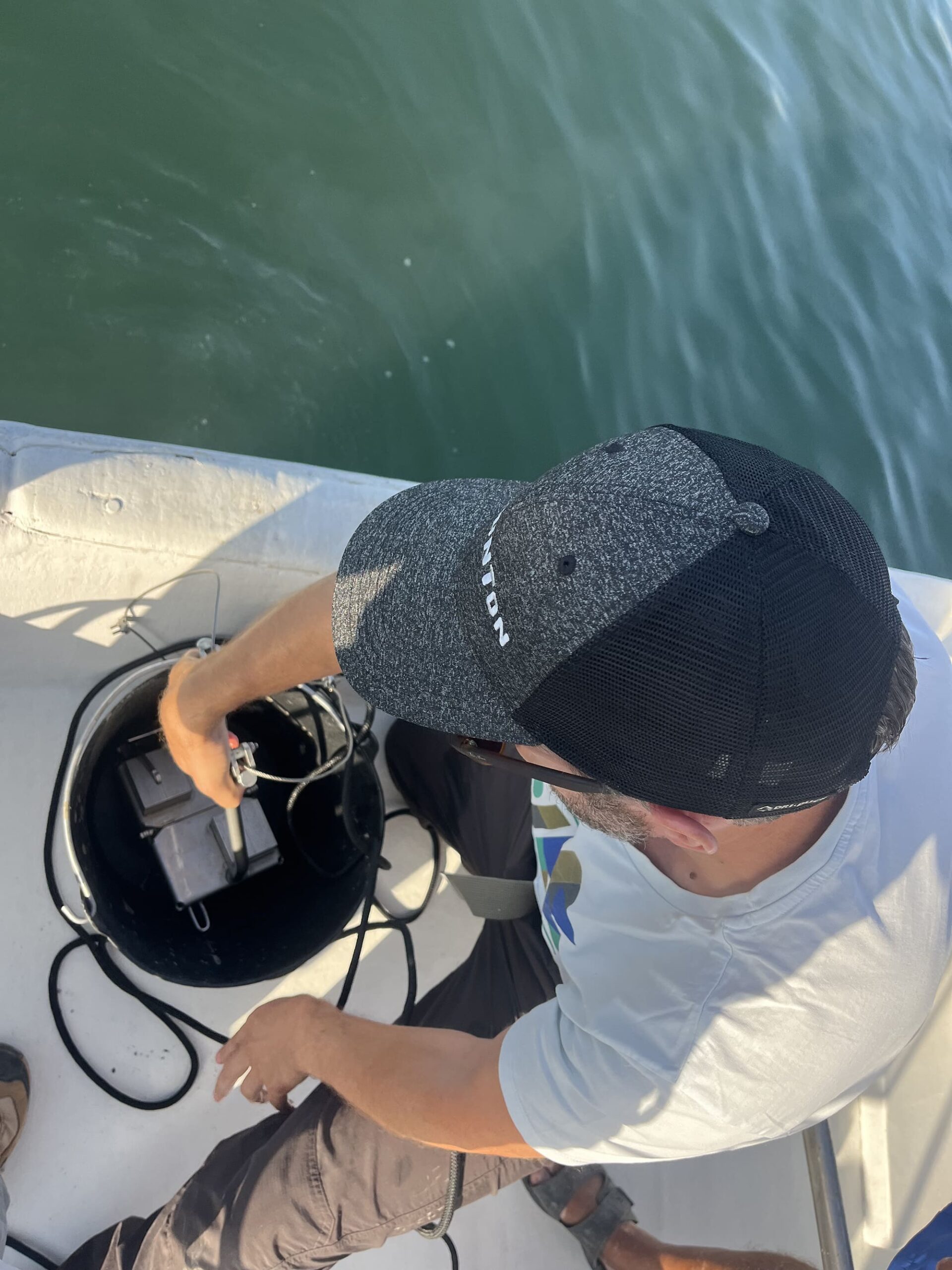
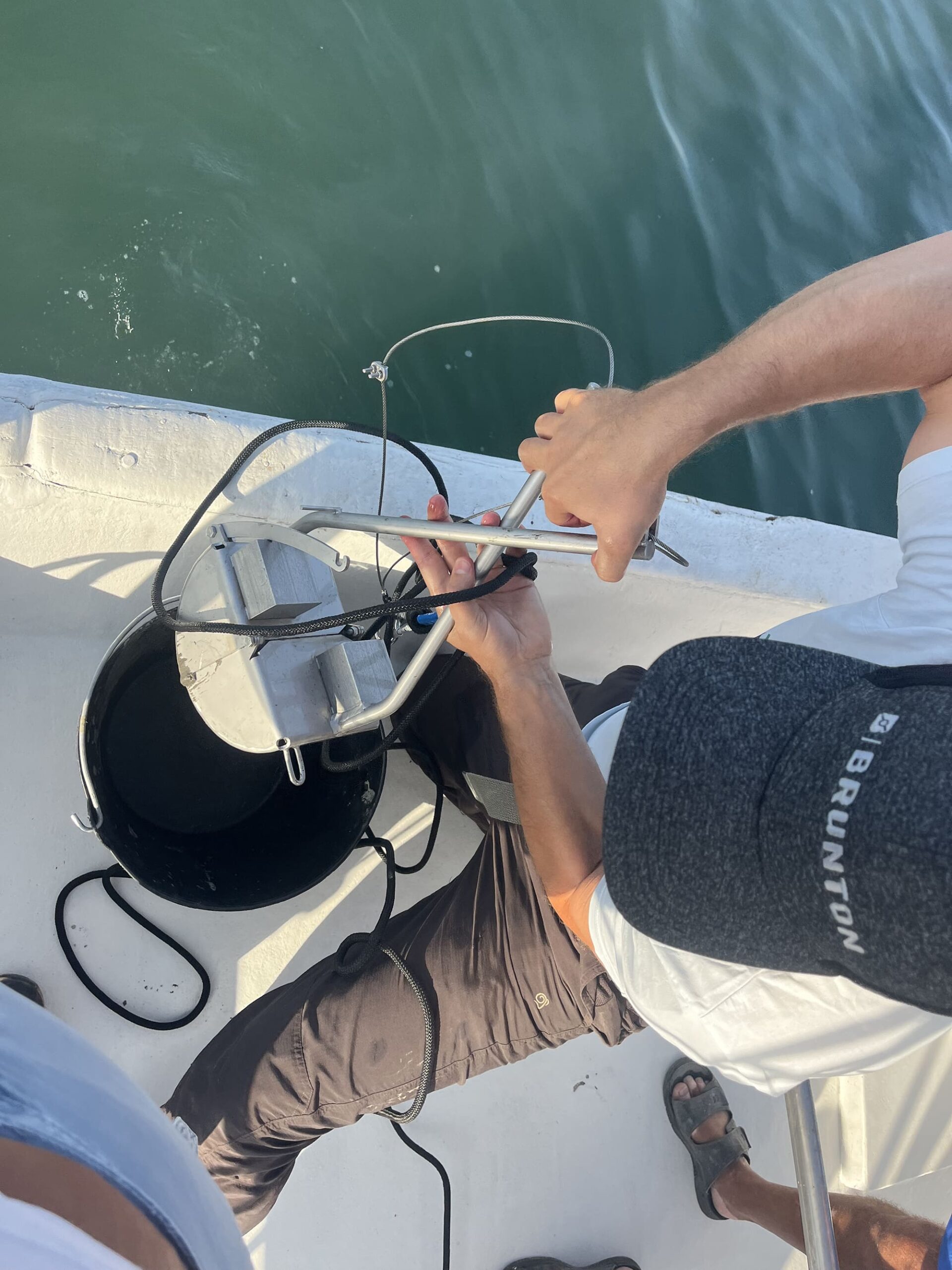
- Marine Geophysical Survey in the Kalloni Gulf to collect bathymetric and seismic information for the study of the evolution of the Gulf and the transitions its natural environments have bygone during the last half million years. The ultimate aim is to produce palaeogeographical reconstructions – maps about the history of the landscape during the glacial periods of the last 500 thousand years.
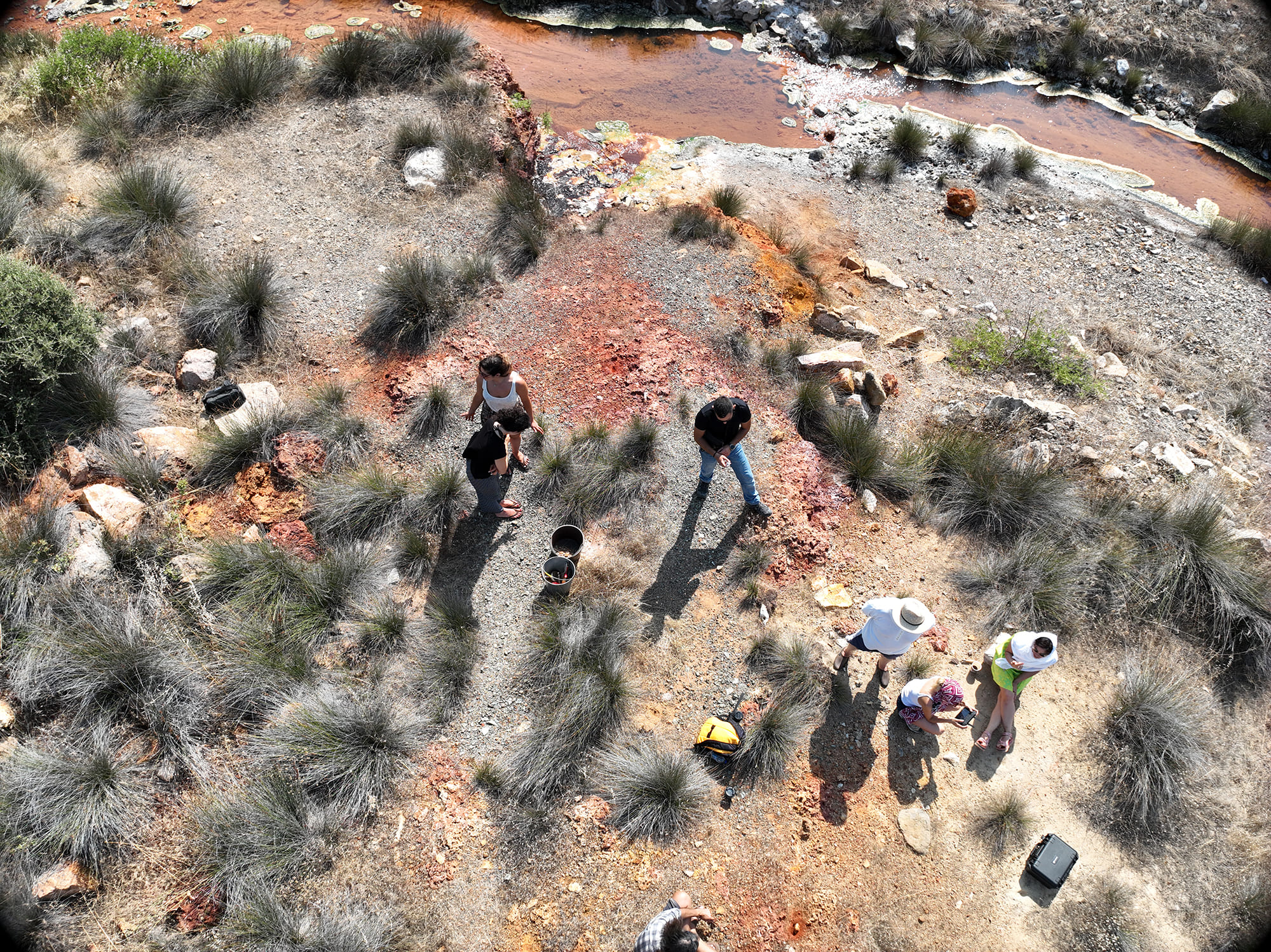
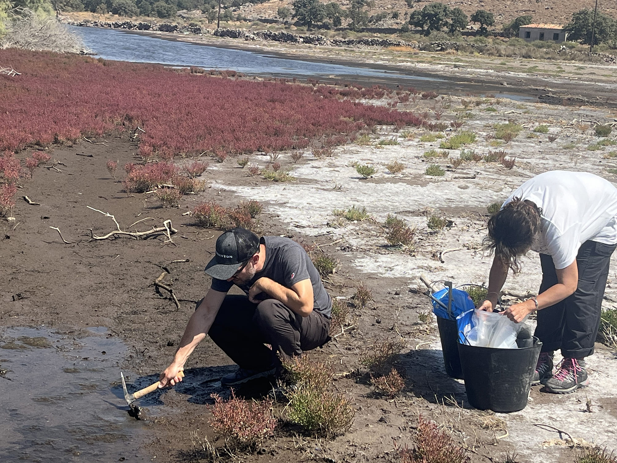
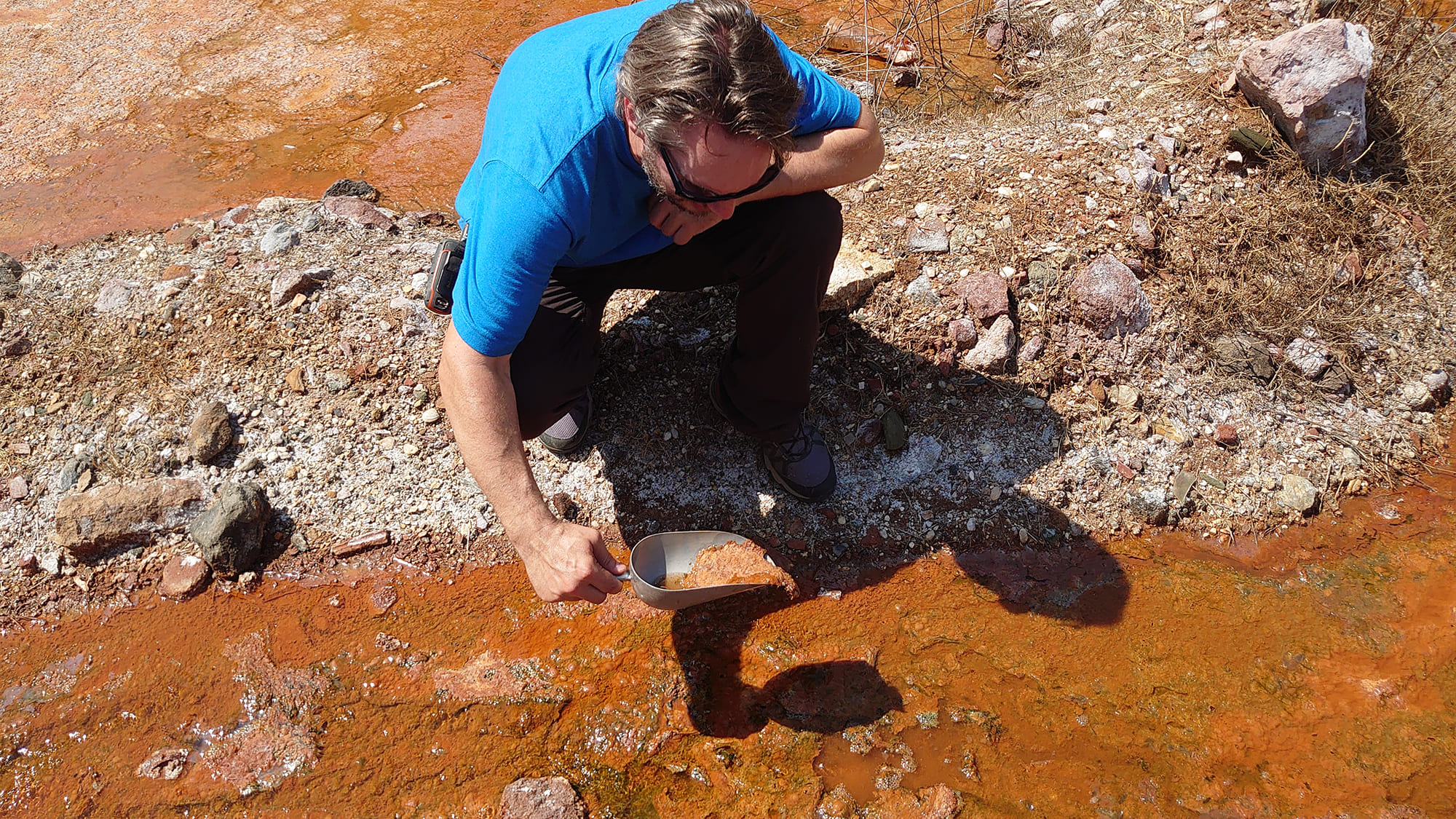
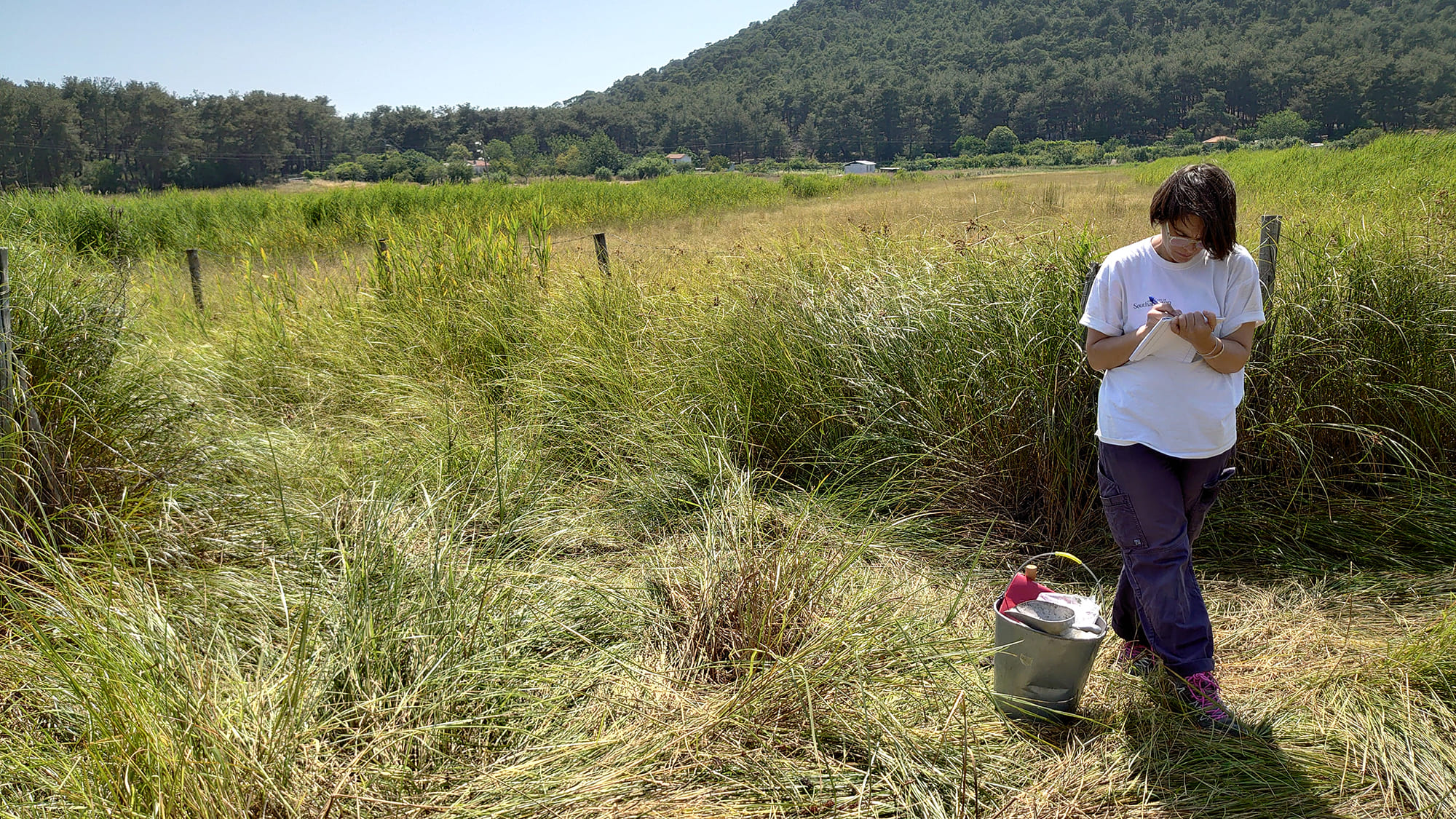
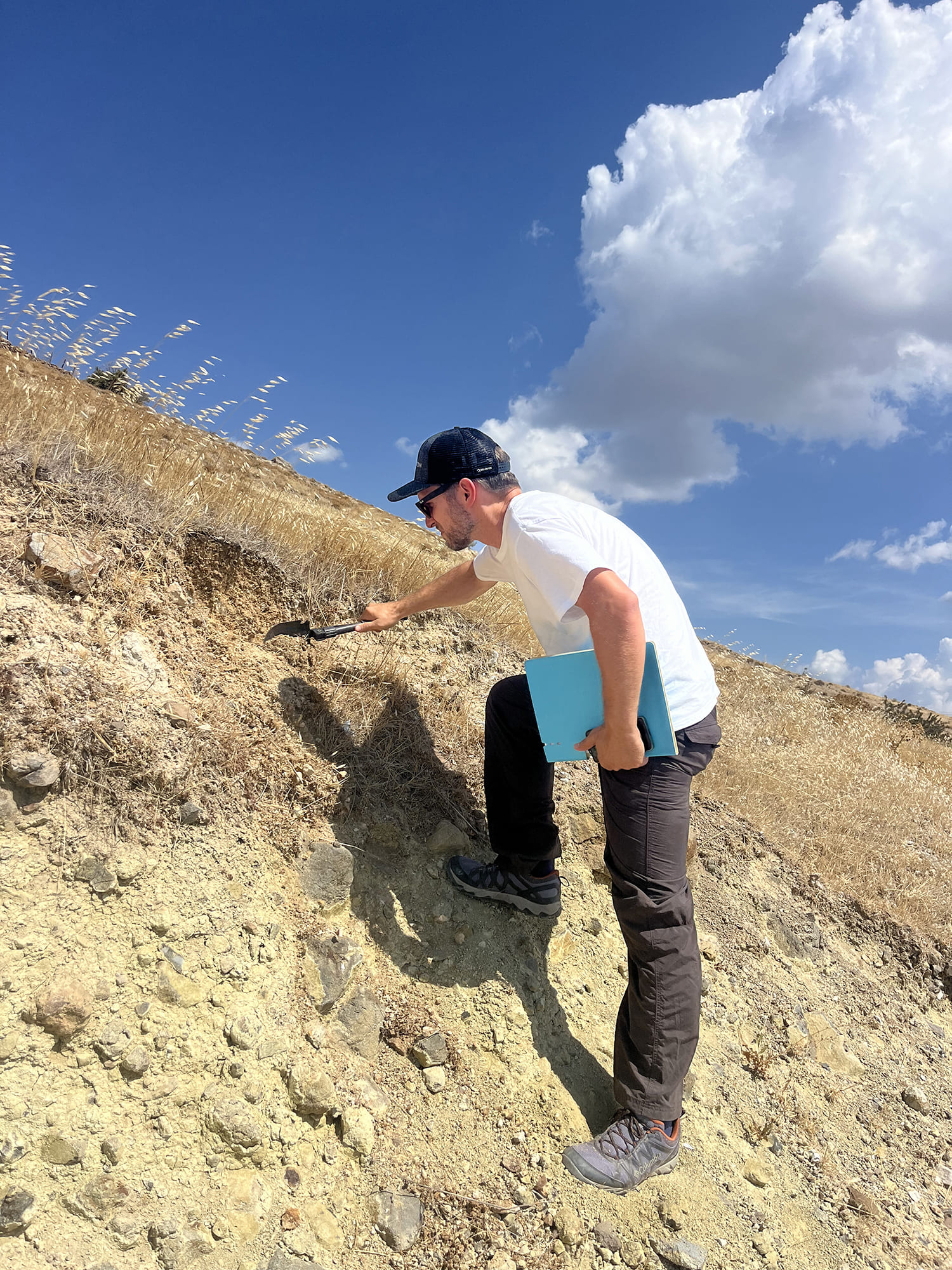
- Study of Edaphics to collect primary information from soil, rocks and sediments for examining the distribution of certain mineral nutrients. These nutrients such as calcium or soluble phosphates are necessary for the healthy growth of plants, animals and humans, and they diachronically contribute to
the ecological characteristics of a certain natural surface. - Predictive modelling to generate new hypotheses and interpret the possibilities for movement and survival that this specific landscape would have offered to groups of Pleistocene hunter-gatherers.
- Public Archaeology research, to disseminate scientific knowledge into the public and stakeholders and to study how the Palaeolithic heritage and Theory of Evolution are perceived by the local agropastoral community of Lisvori.
Research Team
This original research was realised through collaborations between archaeologists and experts in marine geology and geosciences. The HomLandWet team comprises a core group of staff located in the University of Crete Rethymno Campus, Athens and Munich, and a wider group of external collaborators, individuals and research
institutes, in Greece and abroad.
University of Crete (Host Institution)
Nena Galanidou, Professor of Prehistoric Archaeology, Research Direction
Peny Tsakanikou, Postdoctoral Researcher in Palaeolithic Archaeology
Georgia Beka, PhD Candidate in Public Archaeology
Areti Zoulia, Archaeologist (MA)
Kallia Karadimitriou, Archaeologist
Hellenic Centre for Marine Research (Collaborating Organisation 1)
Dimitris Sakellariou, Research Director of Structural/Marine Geology and Marine
Geoarchaeology, Co-Investigator
Ioannis Morfis, Computer Electrical & Engineer, Researcher
Grigorios Rousakis, Research Director of Marine Geology and Geophysics,
Researcher
Alexandros Varesis, Postdoctoral Researcher in Marine Geology and Geophysics
University of Munich (Collaborating Organisation 2)
Simon Kübler, Senior Lecturer (Dr. habil) in Geology
Publications
Kalaitzis M., Sotiropoulou S., Sakellariou D., Galanidou N., Skourtsos E., Kranis H., Morfis I, Tsakanikou P., Rousakis G., IN PRESS. Fault kinematics, landscape evolution and Lower Palaeolithic archaeology in central-south Lesvos Island, NE Aegean, Greece, Quaternary Science Reviews [accepted 30 Sept 2025].
Tsakanikou, P., Kübler, S., Galanidou, N. IN PREPARATION. Coastal wetlands of Lesvos as settings of Palaeolithic activity – a geoedaphic approach [to be submitted in Quaternary Science Reviews].
Conferences
Oral presentations have been given by team members at international conferences in Greece and abroad throughout the duration of the project:
2024
N. Galanidou, D. Sakellariou, P. Tsakanikou, Aegean in the spotlight. A new paradigm for reconstructing early Palaeolithic dispersals, settlement, and landscapes of habit, Half a Century of Archaeological Science in Greece. Past, Present, Future, British School at Athens, Athens 29 November – 1 December 2024.
N. Galanidou, P. Tsakanikou, G. Beka, G. Iliopoulos, S. Kübler, Α. Zoulia, J. Tactikos, The early Palaeolithic settlement of Lesbos: the off-site evidence, 46th International Mediterranean Survey Workshop, National and Kapodistrian University of Athens, Athens 12-13 April 2024.
Ν. Galanidou, G. Iliopoulos, S. Kübler, P. Tsakanikou, Beyond Rodafnidia, Acheulean sites on Lesbos: Surface survey results, Palaeolithic-Mesolithic Conference, British Museum, London 11-12 April 2024.
N. Galanidou, P. Tsakanikou, The Quaternary Sea: connecting the Greek Palaeolithic narrative, INQUA day: Quaternary research & Greek Academia, National and Kapodistrian University of Athens, Athens 31 January 2024.
2025
P. Tsakanikou, S. Kübler, N. Galanidou, Modelling the landscape of the Acheulean activity on Lesvos Island, Greece through an affordance-based GIS approach, Computer Applications in Archaeology (CAA) 2025, University of Western Attica, Athens 5-9 May 2025.
N. Galanidou, S. Kübler, P. Tsakanikou, Hominins in the Aegean changing landscapes: exploring affordances in Palaeolithic Lesbos, Island Legacies Conference 2025, University of Malta, Valeta 3-6 June 2025.
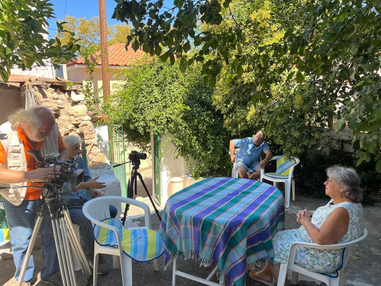
Documentary Film “Rodafnidia”
Photo Archive
Gulf
the Kalloni Gulf
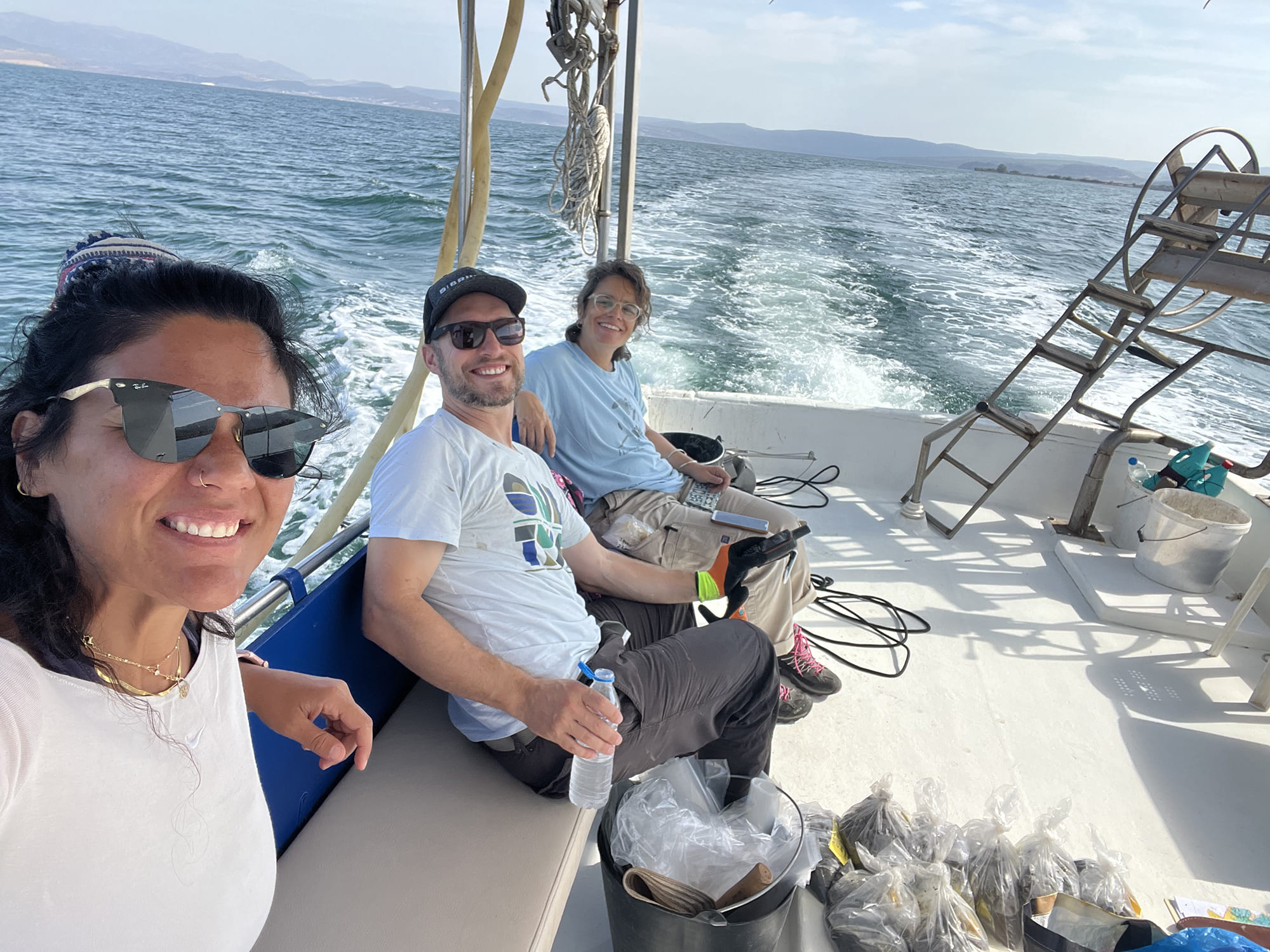
right Georgia Beka, Simon Kübler, Peny Tsakanikou)
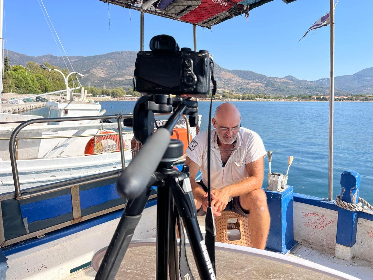
from Lisvori, fisherman in the Kalloni Gulf
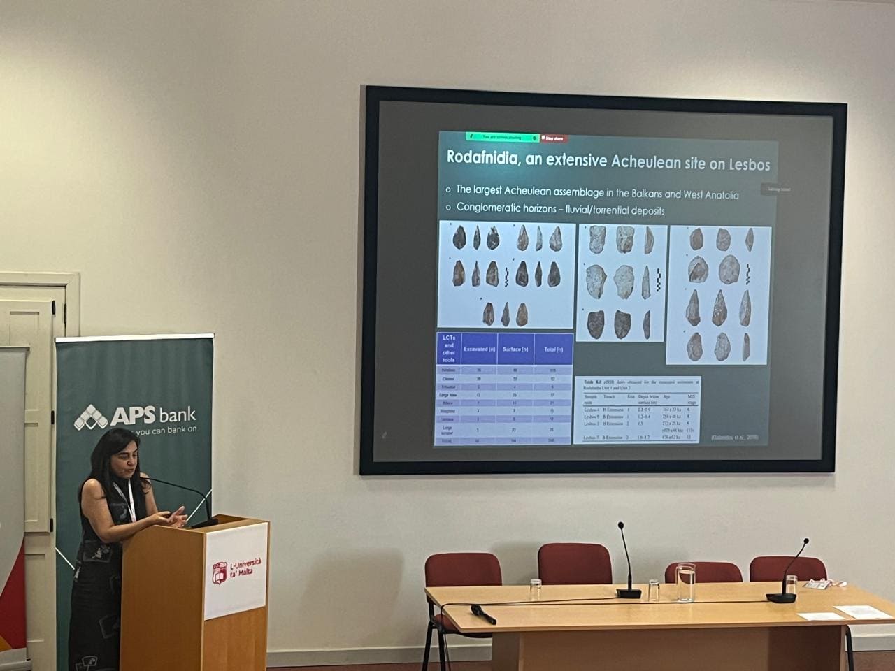
Legacies 2025 at the University of Malta in Valeta in June 2025
This project is carried out within the framework of the National Recovery and Resilience Plan Greece 2.0, funded by the European Union – NextGenerationEU (Implementation body: HFRI).
